
Our projects
Welcome to our project gallery, where we invite you to explore some of the outstanding work we have accomplished in the fields of surveying and architecture. These projects not only reflect our commitment to excellence but also showcase our ability to tackle diverse challenges and meet the unique needs of our clients.
Topographic Survey of a Maritime Port
We conducted a detailed topographic survey of the maritime port of Algeciras, including precise measurements of docks, storage areas, navigation channels, and water depths. This project is undertaken to ensure navigation safety and aid in port expansion planning.


Topography of an Industrial Plant
Conducting a topographic survey of an industrial plant in the San Roque area for the expansion and modernization of facilities. This involves measuring existing structures, terrain, underground infrastructure, and creating digital models for project planning.


Property Boundary Delineation
The work focused on accurately delineating the boundaries between private and public lands in La Línea de la Concepción, using topographic and geodetic techniques. This effort is essential to prevent property disputes and ensure the legality of the properties involved.
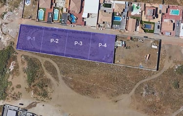

Concrete Slab Leveling
We carry out the precise leveling of a concrete slab in a prominent building in Gibraltar to ensure structural integrity according to the architectural project. This involved the use of strategic techniques to enhance the previously established design.
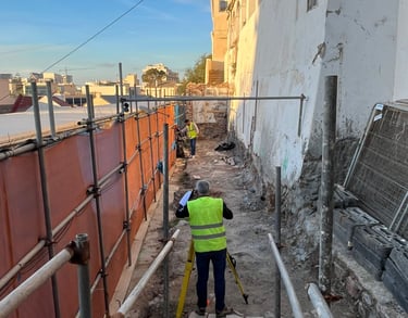

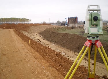

Topography for Road Planning
We conducted a topographic survey for the planning of new roads or the expansion of existing roads in the Tarifa area. This includes measuring the terrain topography, slopes, and identifying potential obstacles.
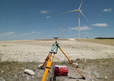

Topographic Survey of a Wind Farm
We conducted a detailed topographic study of the land in Los Barrios for the future installation of a wind farm. This involves measuring the ground topography, identifying suitable areas for wind turbines, and assessing the necessary infrastructure.
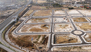

Topography for Urban Development
Conducting detailed topographic surveys for the planning and development of luxury residential areas in Marbella. This includes measuring land, slopes, service infrastructure, and creating plans for the construction of homes and recreational areas


Topographic Survey of Golf Courses
Performing precise topographic studies on golf courses in Estepona for the remodeling and maintenance of these spaces. This involves measuring the fairways, greens, bunkers, and other elements of the course.


Coastline Topography
We conduct a topographic study of the coastline in Fuengirola to assess coastal erosion, plan protective measures, and restore beaches and promenades.
